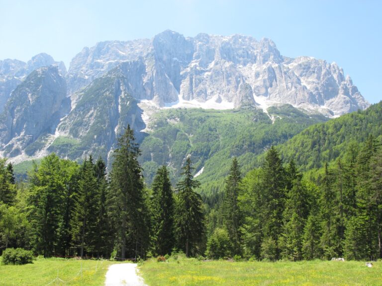
Val Saisera (or Valbruna) is a mountain valley in the Julian Alps, a side valley of Val Canale, located in the municipality of Malborghetto Valbruna (province of Udine, Friuli-Venezia Giulia). Located in the municipality of Malborghetto Valbruna, a few kilometres deep, it is crossed by the Saisera stream in a south-north direction and is dominated by the imposing peaks of Jôf Fuart (2,666 m) and Jôf di Montasio (2,754 m). The waters of its stream flow into those of the Fella river and the village of Valbruna rises at the confluence of the valley and Val Canale.
This flat valley floor makes it possible to reach very low temperatures, especially in winter, despite the fact that the altitude is not particularly high (950-1000 m): in fact, according to unofficial sources, the minimum temperature has dropped as low as -40 °C. What is certain is that the area has certainly exceeded -30 °C, as shown by an official data from recent years with a minimum of -25 °C. Another aspect of the local climate is the abundance of snowfall, which during the winter almost always brings the snowpack to over 100 cm, which is very impressive for the altitude. Since 2006, the Friuli-Venezia Giulia Meteorological Union has installed a small weather station here.
If we want we can also add a photo/video gallery