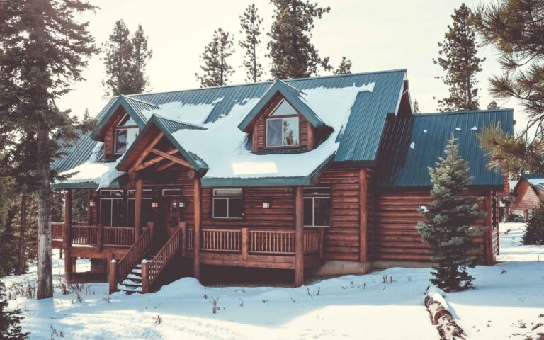
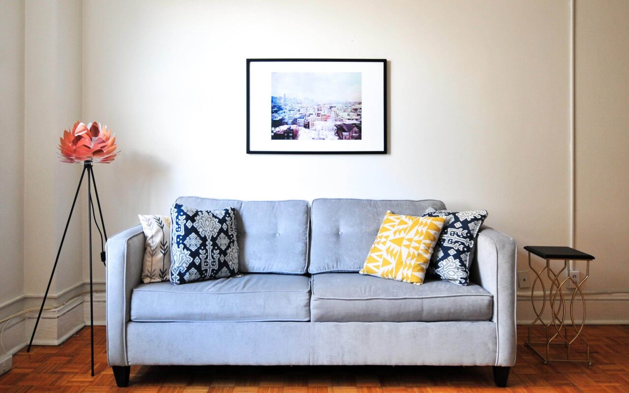
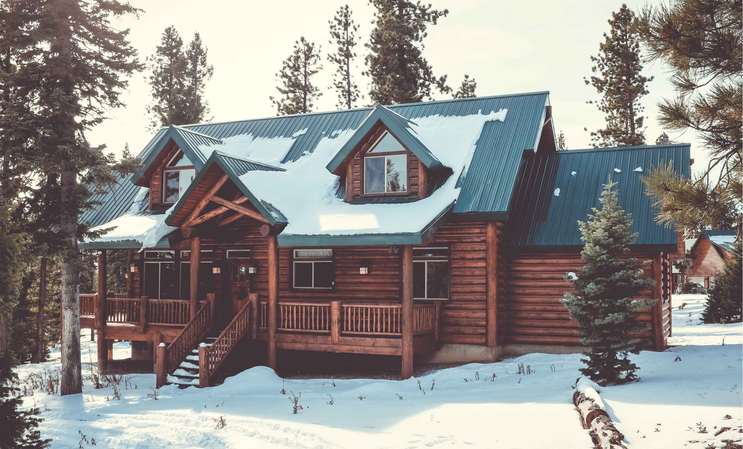
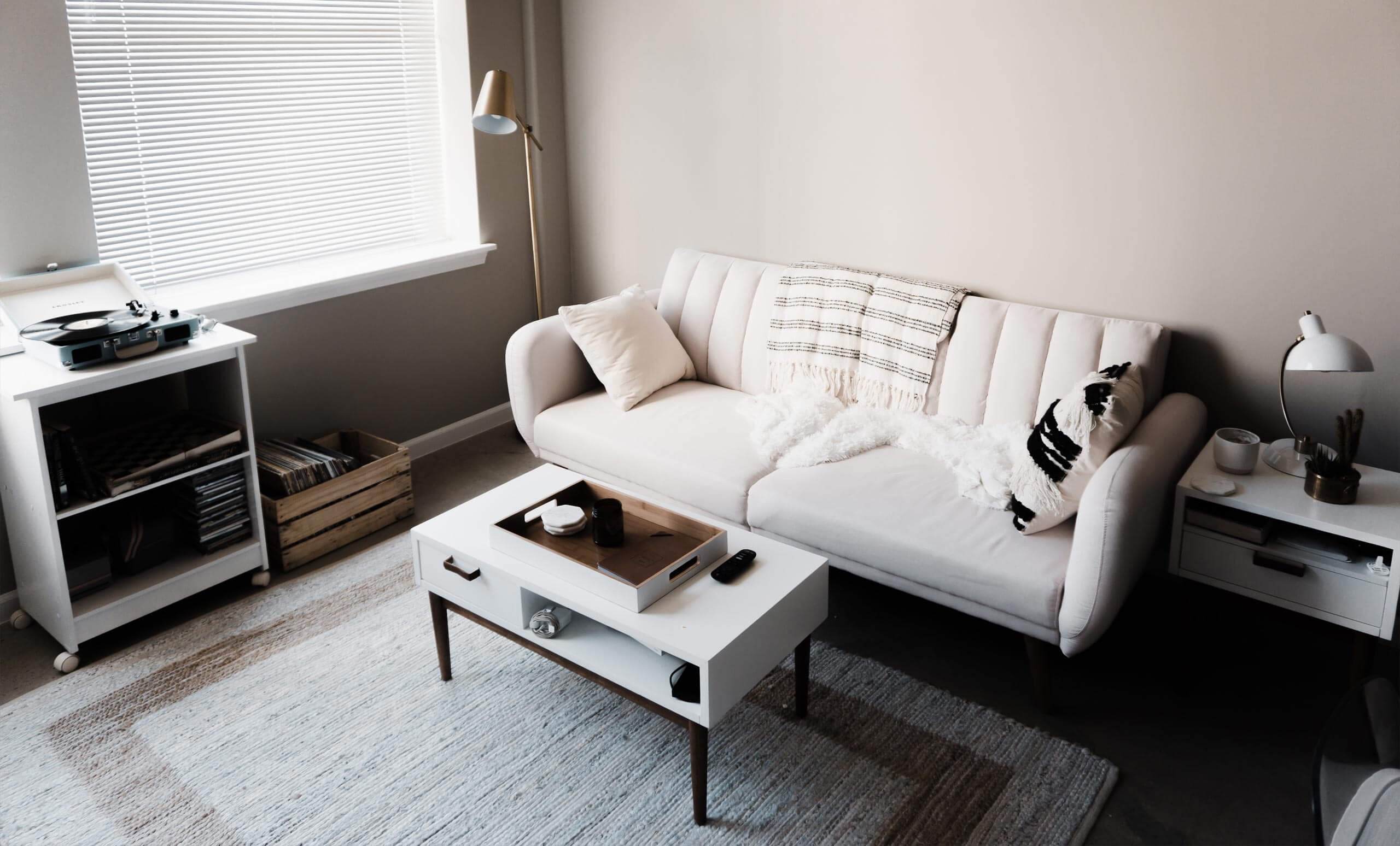
Apartment Saisera
Quick zephyrs blow, vexing daft Jim. Sex-charged fop blew my junk TV quiz.
Details
- Guests: 4
- Size: 77m²
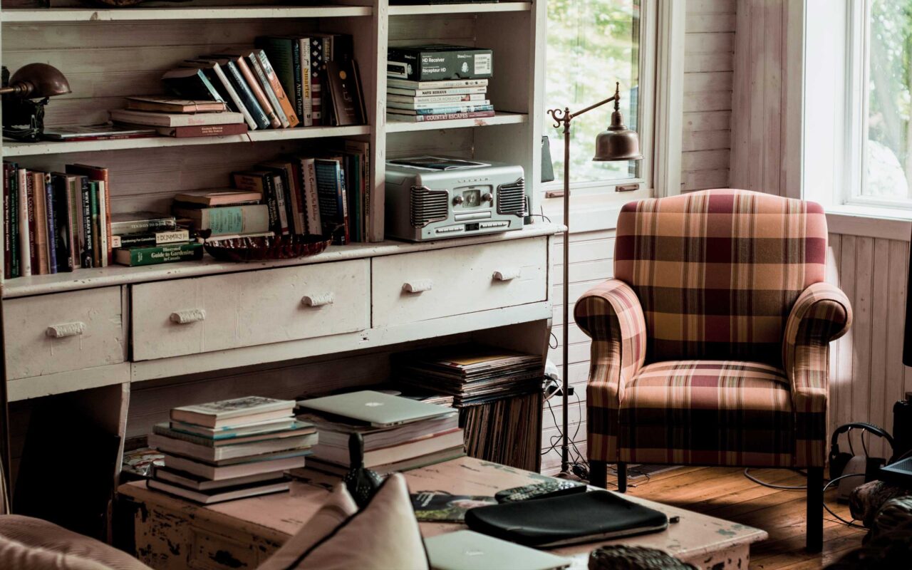
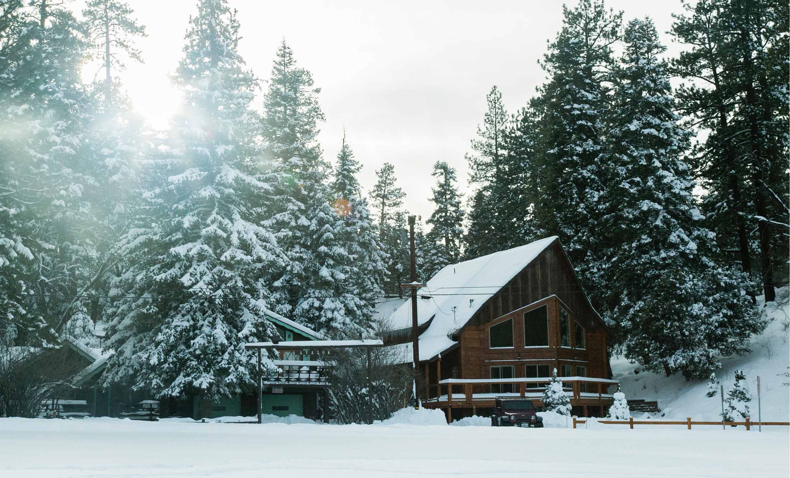
Apartment Lussari
The European languages are members of the same family. Their separate existence is a myth.
Details
- Guests: 4
- View: Cucina, soggiorno, 2 bagni, 3 stanze
- Size: 84m²
- Bed Type: 1 letto matrimonale + 4 letti singoli
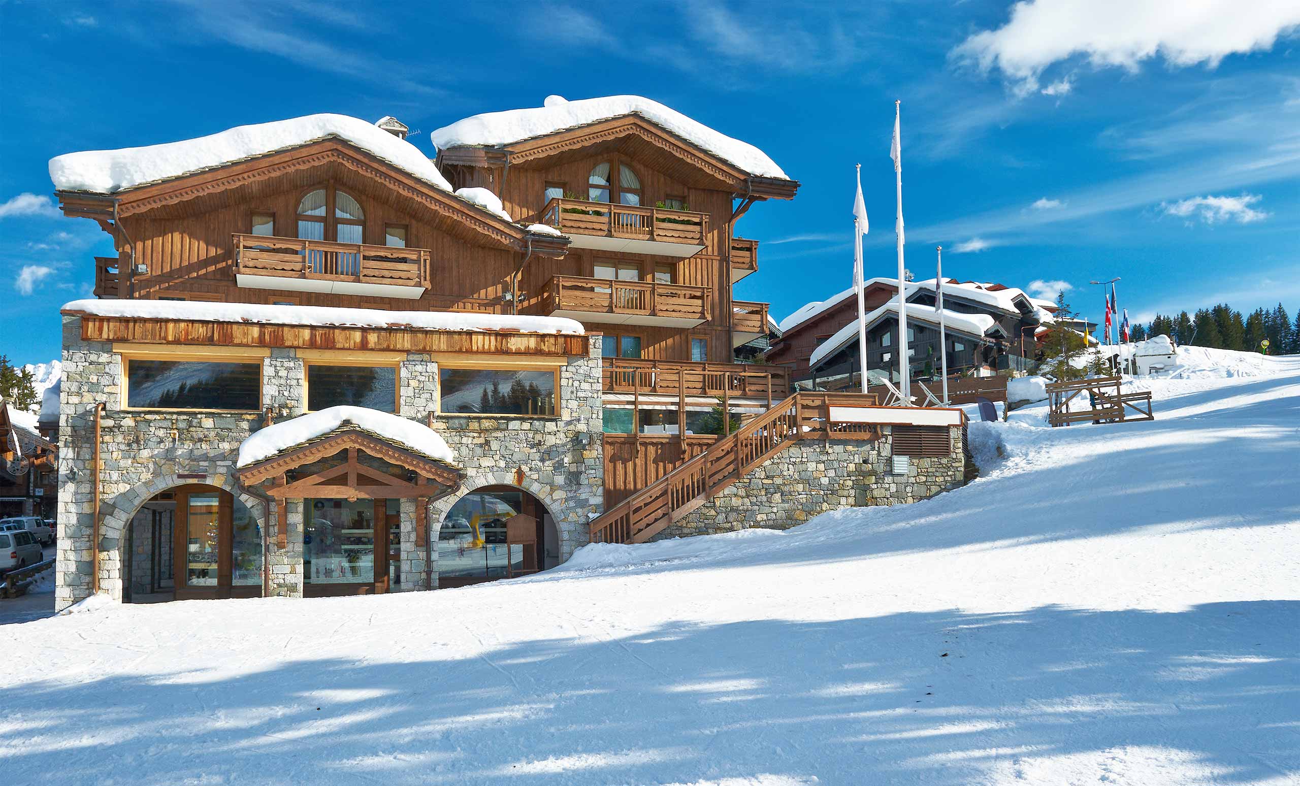
Apartment Fusine
But I must explain to you how all this mistaken idea of denouncing pleasure and praising pain was born
Details
- Guests: 4
- Size: 65m²

Apartment Bartolo
On the other hand, we denounce with righteous indignation and dislike men who are so beguiled.
Details
- Guests: 2
- Size: 49m²
Apartment Predil
The wise man therefore always holds in these matters to this principle of selection: he rejects pleasures to secure other greater pleasures.
Details
- Guests: 2
- Size: 37m²

Apartment Slizza
These cases are perfectly simple and easy to distinguish. In a free hour, when our power of choice is untrammelled.
Details
- Guests: 2
- View: Vista sulla montagna
- Size: 25m²
Camporosso and the Bartolo Valley
The itinerary is really very simple and not overly strenuous: the carriageway up to the Piani di Bartolo is an excellent winter hike, when you want to hike in a mountain environment without going too high. The difference in altitude and the length (350m D+, 12 km in total) make this hike also pleasant for families.
In addition, the road is often beaten by vehicles and many people reach the huts on skis or snowshoes: if the snowpack is not fresh, specific mountain equipment is often not even required. However, in the mountains, it is best to be prepared: we recommend that you always inquire about road conditions and practicability and that you equip yourself with the right equipment.
If we want, we can also add a photo/video gallery
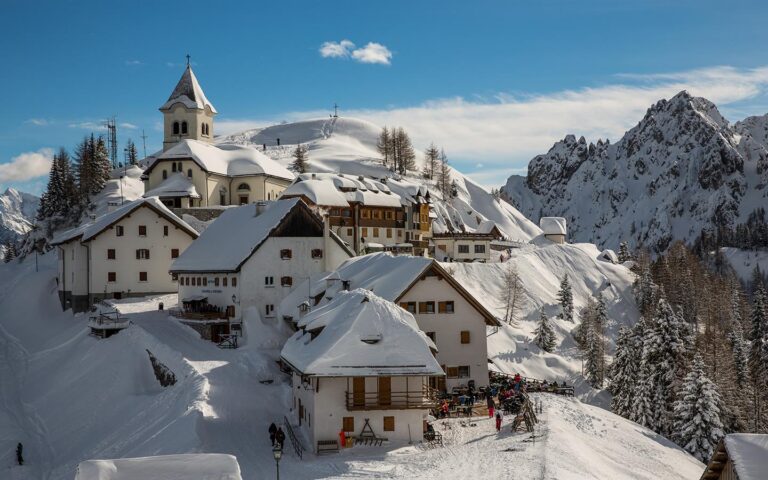
Mount Lussari
A peak looks down on the space where the Carnic and Julian Alps meet, from an elitist position that sees it as a sentinel of these borderlands and a meeting place between the Latin, Slavic and Germanic peoples: Mount Lussari is much more than a peak that touches 1800 m!
It is an exceptional balcony over the giants of the Julian Alps: from here, gazes are lost in the majesty of the rock faces of Jof di Montasio, Jof Fuart and Mangart from a certainly privileged and uncompromising viewpoint.
It is a renowned pilgrimage destination due to the presence of a sanctuary, which can be reached via the suggestive Sentiero del Pellegrino (Pilgrim’s Path), a hiking route that from the bottom of the valley climbs the slopes of the mountain along the thousand-year-old forest of Tarvisio.
Lussari is also the highest village in Friuli Venezia Giulia, and in its alleyways the traditional cuisine can be found in the dishes offered by the many cosy inns.
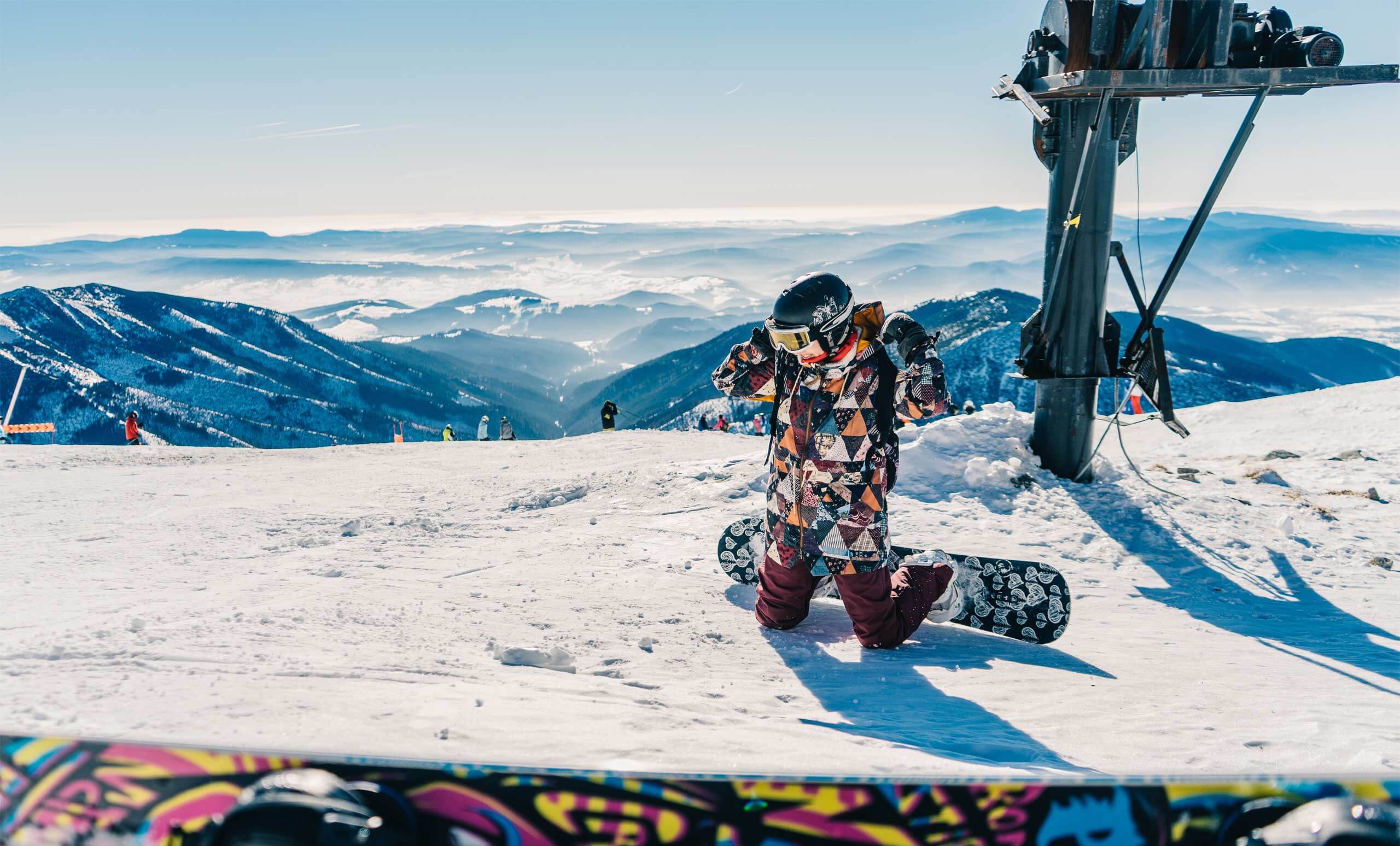
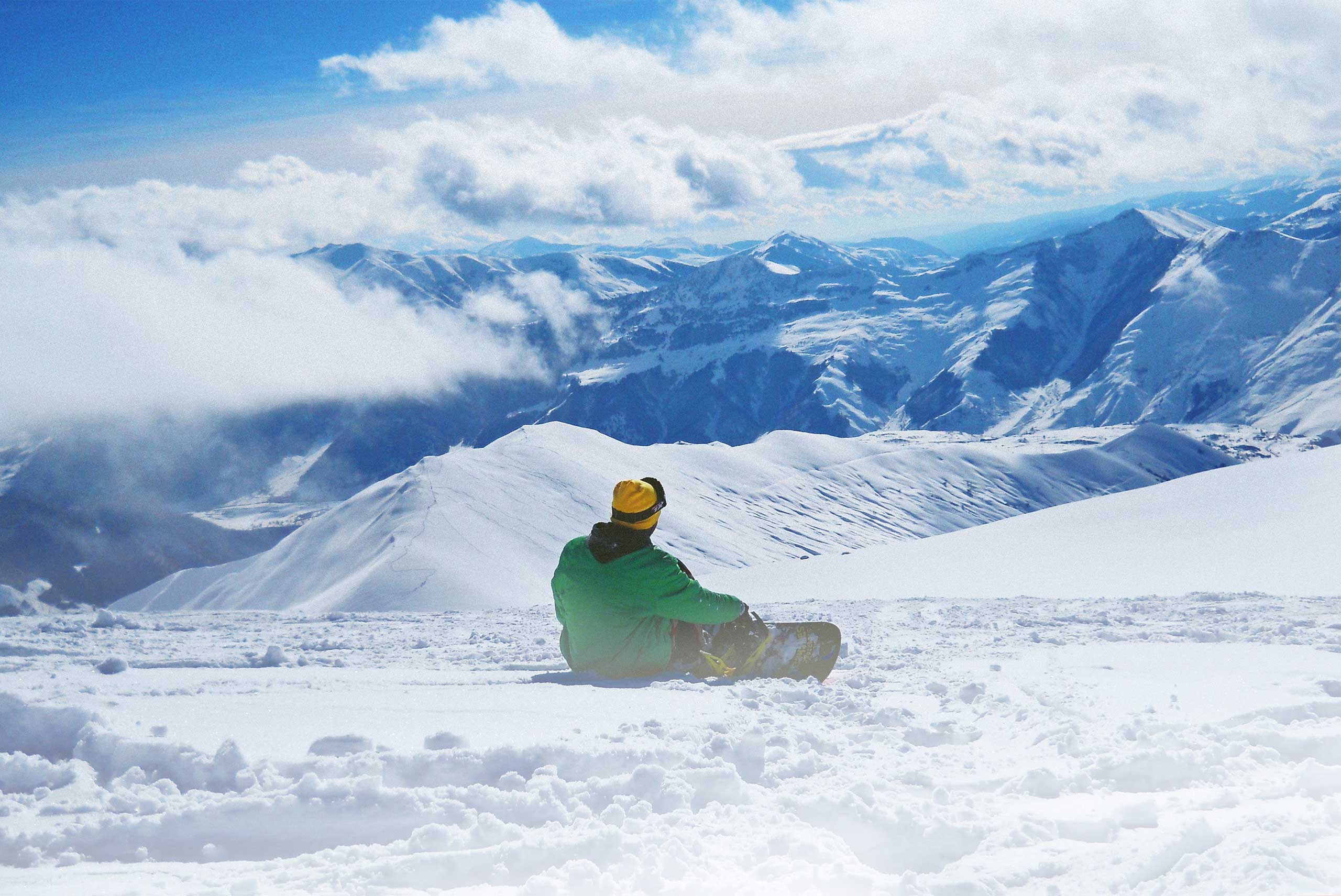
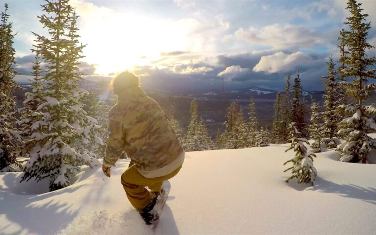
It is sport in all seasons: trekking enthusiasts will find numerous hiking trails to nearby peaks or the arrival point of more complex routes, including the Cammino Celeste. In the white winter of the Tarvisio area, the exciting Di Prampero slope that descends the northern slopes of the mountain is a challenging terrain for the most expert skiers, attracting competitions of international calibre on its snow.
If we wish we can also add a photo/video gallery
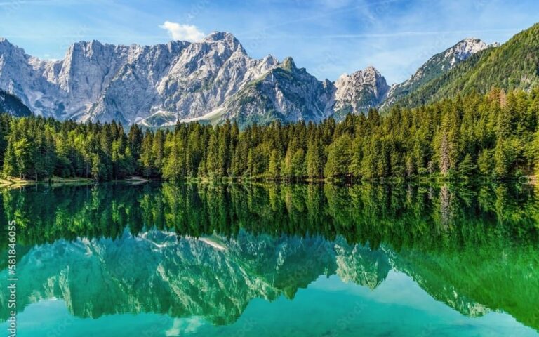
The Fusine Lakes
The Fusine Lakes (lâgs di Fusinis in Friulian, Weißenfelser Seen, in German, Belopeška jezera in Slovene) are a complex of two small lakes, the Upper Lake and the Lower Lake, located a short distance from each other in the territory of the municipality of Tarvisio (hamlet of Fusine Laghi, Friuli-Venezia Giulia) and considered among the most beautiful examples of Alpine lakes.
Of glacial origin, they are located in a limestone amphitheatre created by the Mezzodì Peak ridge of Mount Mangart. The valley, which runs parallel to the Italian-Slovenian border and not far from the Italian-Austrian border, has been a protected area since 1971 under the name of the Fusine Lakes Nature Park.
The Upper Lake is located at 929 m a.s.l., has a maximum depth of 10 m and an area of 9 ha; the Lower Lake, which is wider and deeper, is located at 924 m a.s.l., has a maximum depth of 25 m and an area of 13.5 ha. In the vicinity of the Lower Lake there are two other tiny lakes, called Small Lakes. The Upper Lake feeds the Lower Lake underground and the latter feeds the outflow of both lakes.
If we want we can also add a photo/video gallery
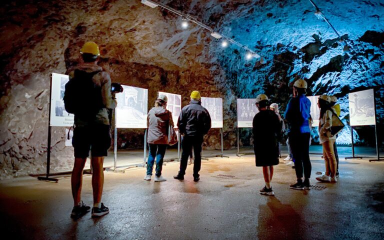
The lake and mines of Raibl (Predil)
The Raibl – Cave del Predil mine was one of Europe’s most important lead and zinc mines for centuries. Closed in 1990, today it has become the Raibl International Geo-mineral Park, a memorial to the memory of workers and a tourist and educational destination. The old mine consisted of a 120-kilometre-long network of galleries on 19 levels, descending to a depth of 520 metres. It is now possible to visit some of the spaces inside, walking through part of the galleries on foot or on board an electric train. The visit allows us to discover the minerals and mining techniques, but above all to understand the labours of thousands of miners who worked for centuries inside the bowels of the earth.
If we want we can also add a photo/video gallery
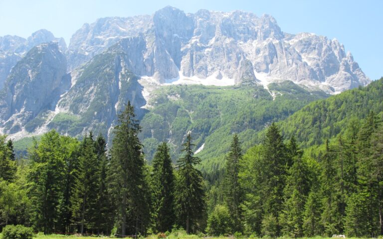
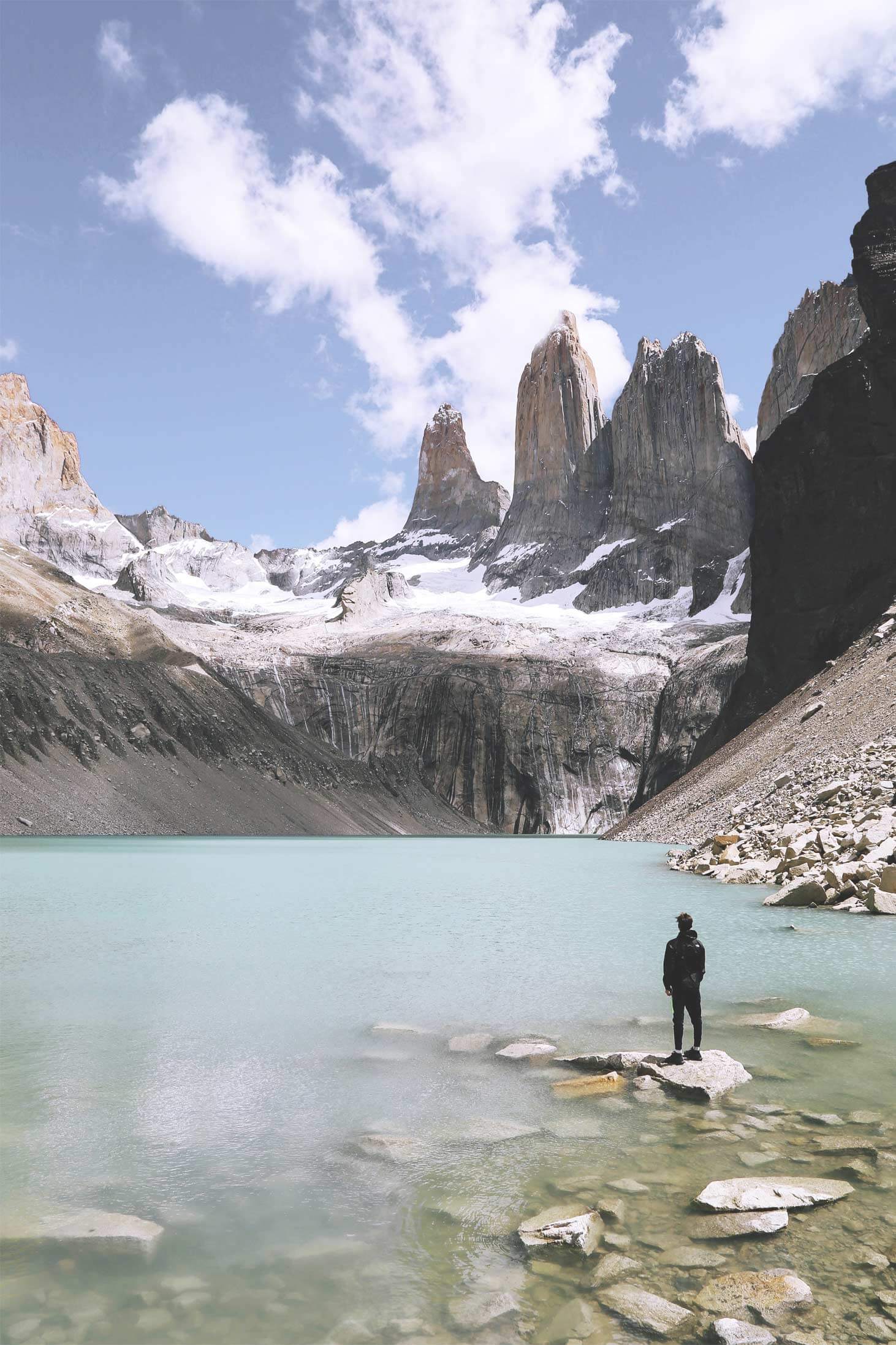
The Saisera Valley
Val Saisera (or Valbruna) is a mountain valley in the Julian Alps, a side valley of Val Canale, located in the municipality of Malborghetto Valbruna (province of Udine, Friuli-Venezia Giulia). Located in the municipality of Malborghetto Valbruna, a few kilometres deep, it is crossed by the Saisera stream in a south-north direction and is dominated by the imposing peaks of Jôf Fuart (2,666 m) and Jôf di Montasio (2,754 m). The waters of its stream flow into those of the Fella river and the village of Valbruna rises at the confluence of the valley and Val Canale.
This flat valley floor makes it possible to reach very low temperatures, especially in winter, despite the fact that the altitude is not particularly high (950-1000 m): in fact, according to unofficial sources, the minimum temperature has dropped as low as -40 °C. What is certain is that the area has certainly exceeded -30 °C, as shown by an official data from recent years with a minimum of -25 °C. Another aspect of the local climate is the abundance of snowfall, which during the winter almost always brings the snowpack to over 100 cm, which is very impressive for the altitude. Since 2006, the Friuli-Venezia Giulia Meteorological Union has installed a small weather station here.
If we want we can also add a photo/video gallery
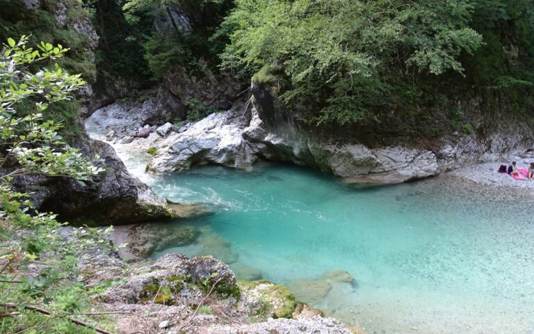
The Slizza river gorge
The Slizza gorge (which is anything but a gorge) is an easy route of about 2 km that runs through Tarvisio and along the Slizza stream. A super Instagrammable route, suitable for children and families who want to enjoy the coolness of the mountains on torrid summer days and have a nice picnic with their feet in the water. After being closed for a couple of years, it was finally reopened and restored on 12 July 2020.
Between footbridges, wooden bridges and hand-carved tunnels, you can walk this route safely a couple of metres above the Slizza stream.
If we want we can also add a photo/video gallery
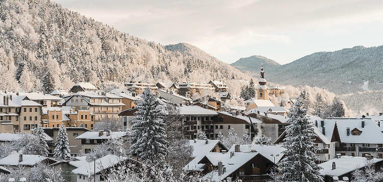
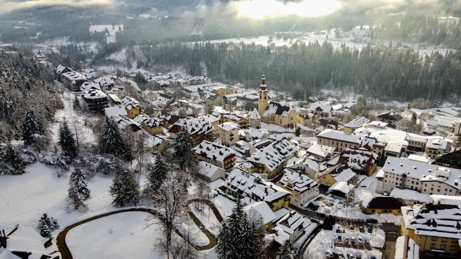
The town of Tarvisio
Lorem ipsum
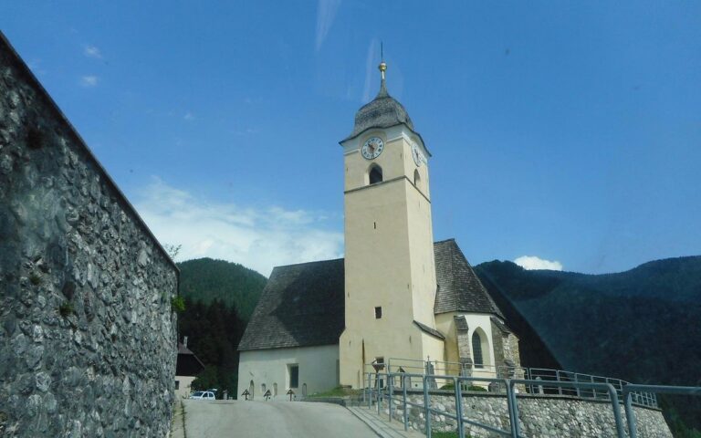
The village of Coccau
Coccau (Cocau in Friulian, Goggau in German, Kokova in Slovene) is a fraction of the municipality of Tarvisio (UD), divided in turn into Coccau di Sopra, Coccau di Sotto and Coccau Valico. The border between Italy and Austria, which was set by the Treaty of Saint-Germain-en-Laye after the end of the First World War in 1919, passes through this last part.
If we want, we can also add a photo/video gallery